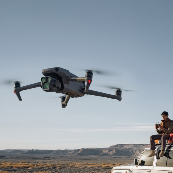
Description
The DJI Mavic 3E is a professional-grade drone designed for industrial and enterprise applications. It is equipped with advanced sensors and features tailored for mapping, surveying, and inspection tasks, offering powerful imaging capabilities with high precision.
Key Features:
-
Advanced Camera System:
- 20 MP, 4/3 CMOS Sensor: Provides high-resolution imagery and excellent low-light performance.
- Mechanical and Electronic Shutters: Includes an electronic shutter with speeds from 8s to 1/8000s and a mechanical shutter from 8s to 1/2000s, reducing motion blur and improving clarity for moving objects.
-
Omnidirectional Obstacle Sensing: The Mavic 3E features a full range of obstacle sensors to enhance safety during flight operations.
-
RTK Module (Optional): For enhanced accuracy, the drone supports an RTK module, providing centimeter-level precision for mapping and surveying tasks.
Performance Parameters:
- Weight: 915g.
- Dimensions:
- Folded: 221 x 96.3 x 90.3 mm
- Unfolded: 347.5 x 283 x 107.7 mm
- Flight Time: Up to 45 minutes in no-wind conditions.
- Max Flight Altitude: 6000 meters.
- Max Flight Speed: 21 m/s (in Sport Mode).
- Max Ascent Speed: 8 m/s.
- Max Descent Speed: 6 m/s.
- Max Wind Resistance: 12 m/s.
- Hovering Precision:
- Vertical: ±0.1 m (when visual positioning is active).
- Horizontal: ±0.3 m (with high-precision positioning system active).
- Range: Up to 32 km.
Camera Parameters:
- Main Camera:
- Lens: FOV: 84°, Aperture: f/2.8 - f/11.
- Sensor: 4/3 CMOS, 20 MP.
- Max Photo Resolution: 5280×3956.
- Video Resolution: 4K (3840×2160) at 30fps, Full HD (1920×1080) at 30fps.
- ISO Range: 100-6400.
- Shutter Speed:
- Electronic Shutter: 8s to 1/8000s.
- Mechanical Shutter: 8s to 1/2000s.
Additional Modules:
- Gimbal: 3-axis mechanical gimbal for stable footage.
- Battery: 5000 mAh LiPo 4S battery, providing up to 45 minutes of flight time.
- Charging Time:
- Approximately 1.5 hours with a 100W desktop charger.
- Approximately 2 hours with a 12V USB charger.
The DJI Mavic 3E is designed to deliver professional-grade aerial data collection, with enhanced imaging capabilities and long flight duration. It is well-suited for industries like construction, agriculture, and environmental monitoring


